


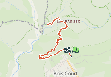


11,9 km | 24 km-effort

Utilisateur


Application GPS de randonnée GRATUITE
 SityTrail
IGN / Instituts géographiques
SityTrail World
Le monde est à vous
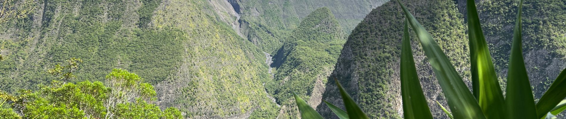
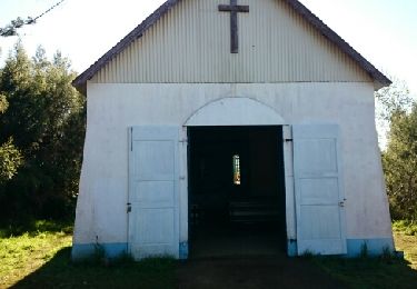
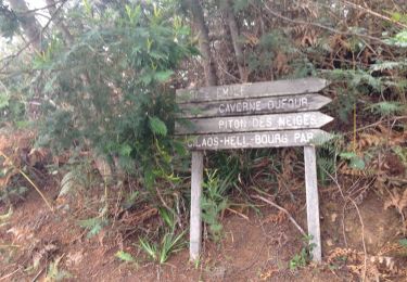
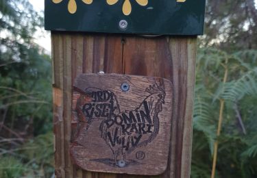
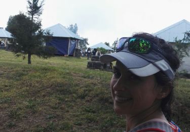
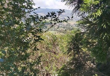
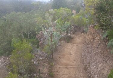
Randonnée Marche de 9,5 km à découvrir à La Réunion, Inconnu, Le Tampon. Cette randonnée est proposée par wallander76.


Marche
Marche
Marche
Trail
A pied

Marche
Marche
Marche
Marche